From risky service path to restored wonder
Every boardwalk plank carries a century of engineering ambition, local resilience, and respect for the landscape.
Table of Contents
How a canyon became strategic infrastructure
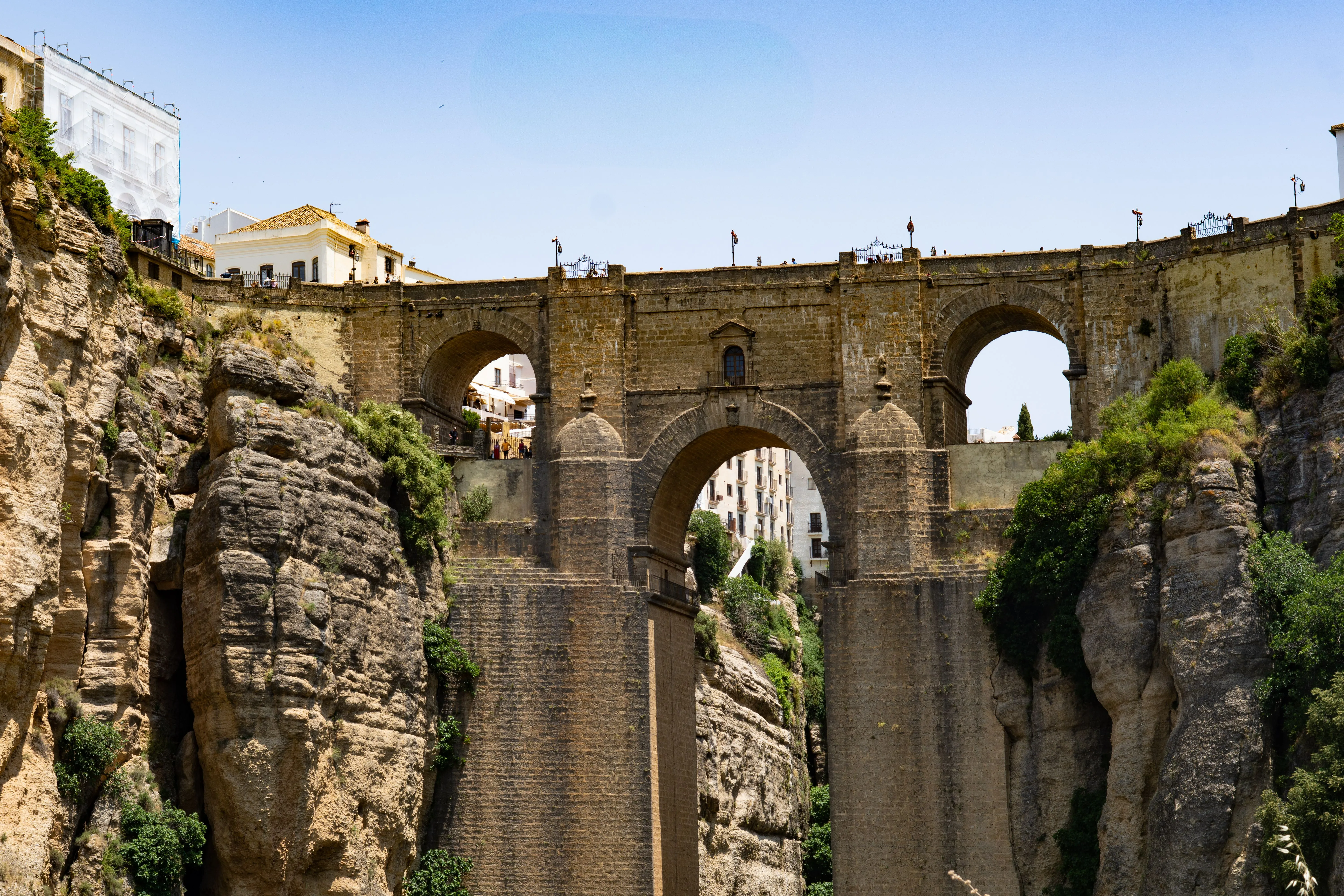
Long before it became an iconic visitor route, the gorge of Los Gaitanes was above all a place of necessity. The deep canyon, carved over geological time by the Guadalhorce River, stood as both obstacle and opportunity for early twentieth-century industrial expansion in inland Málaga. At a moment when Spain was modernizing and electricity demand was rising, this dramatic terrain attracted engineers, workers, and investors who saw in the river current the possibility of reliable hydroelectric production. Reaching work points along the cliff walls, however, required a precarious solution: a narrow service path attached directly to the rock.
That original purpose is essential to understanding Caminito del Rey today. The route was never built as a leisure trail; it existed so operators could inspect canals, maintain infrastructure, and move materials through terrain where ordinary roads were impossible. In other words, what visitors now experience as thrilling scenery was once a hard-working industrial corridor shaped by urgency, labor, and technical improvisation. The canyon itself dictated the terms: steep drops, unstable ledges, and weather conditions that could change quickly. Every meter walked now still carries echoes of that pragmatic beginning.
Hydroelectric ambitions in El Chorro
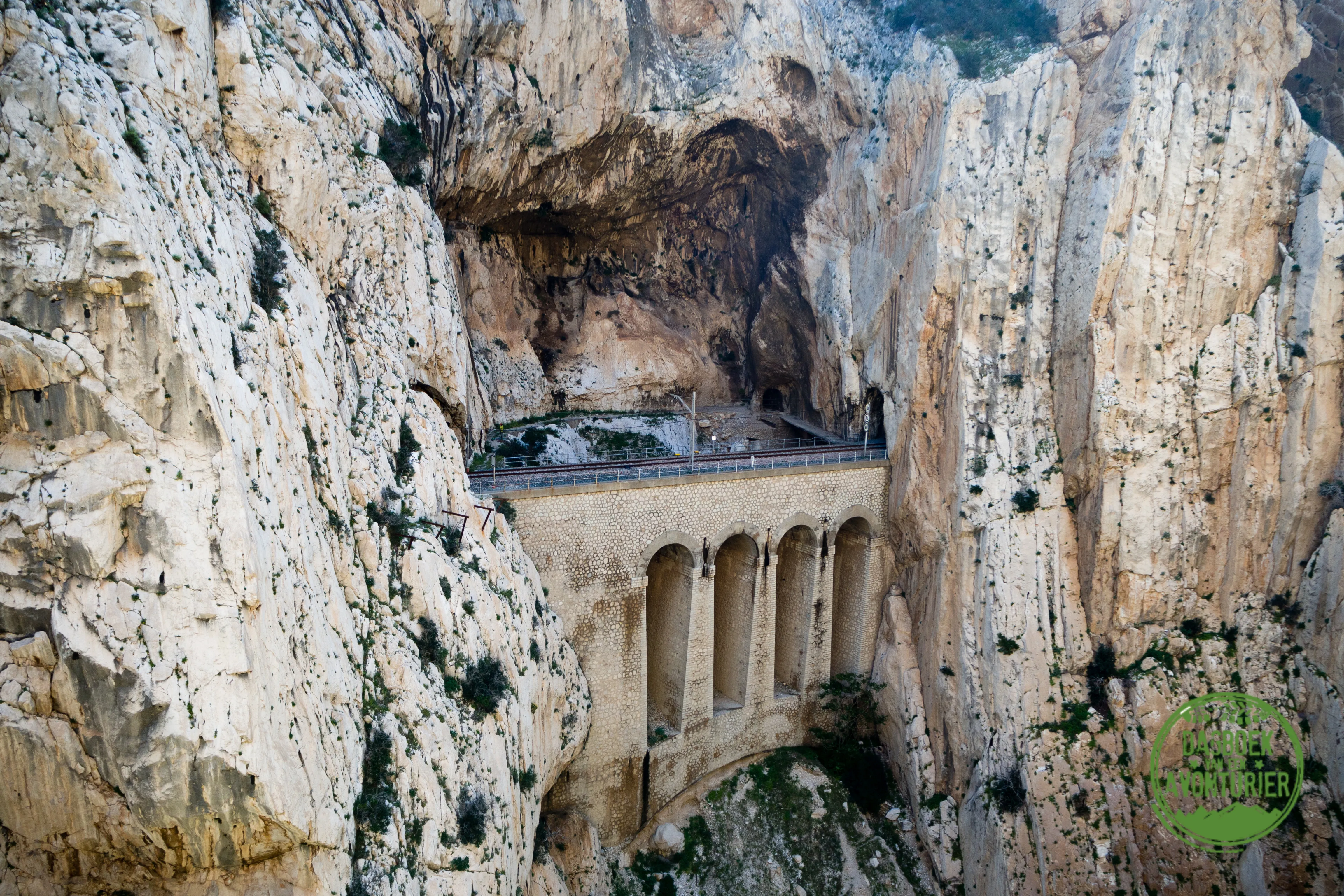
At the turn of the twentieth century, El Chorro and the surrounding valleys became central to ambitious hydroelectric projects designed to power Málaga’s growth. Water management works, channels, and generation systems demanded regular inspection along inaccessible cliff sections. The landscape was magnificent, yes, but for engineers and workers it was primarily functional territory: difficult, exposed, and unforgiving. The famous walkway emerged from this context, tied directly to utility operations rather than tourism.
Understanding this industrial chapter adds depth to the modern visit. The reservoirs around Ardales, often admired today for their blue-green calm, were and remain part of a complex system that transformed regional development. The old path represented human persistence in extreme terrain, where routine maintenance required courage and precision. That practical heritage is still visible in the alignment of the route and in the way it tracks the canyon wall where technicians once moved with tools instead of cameras.
Building the original cliffside pathway
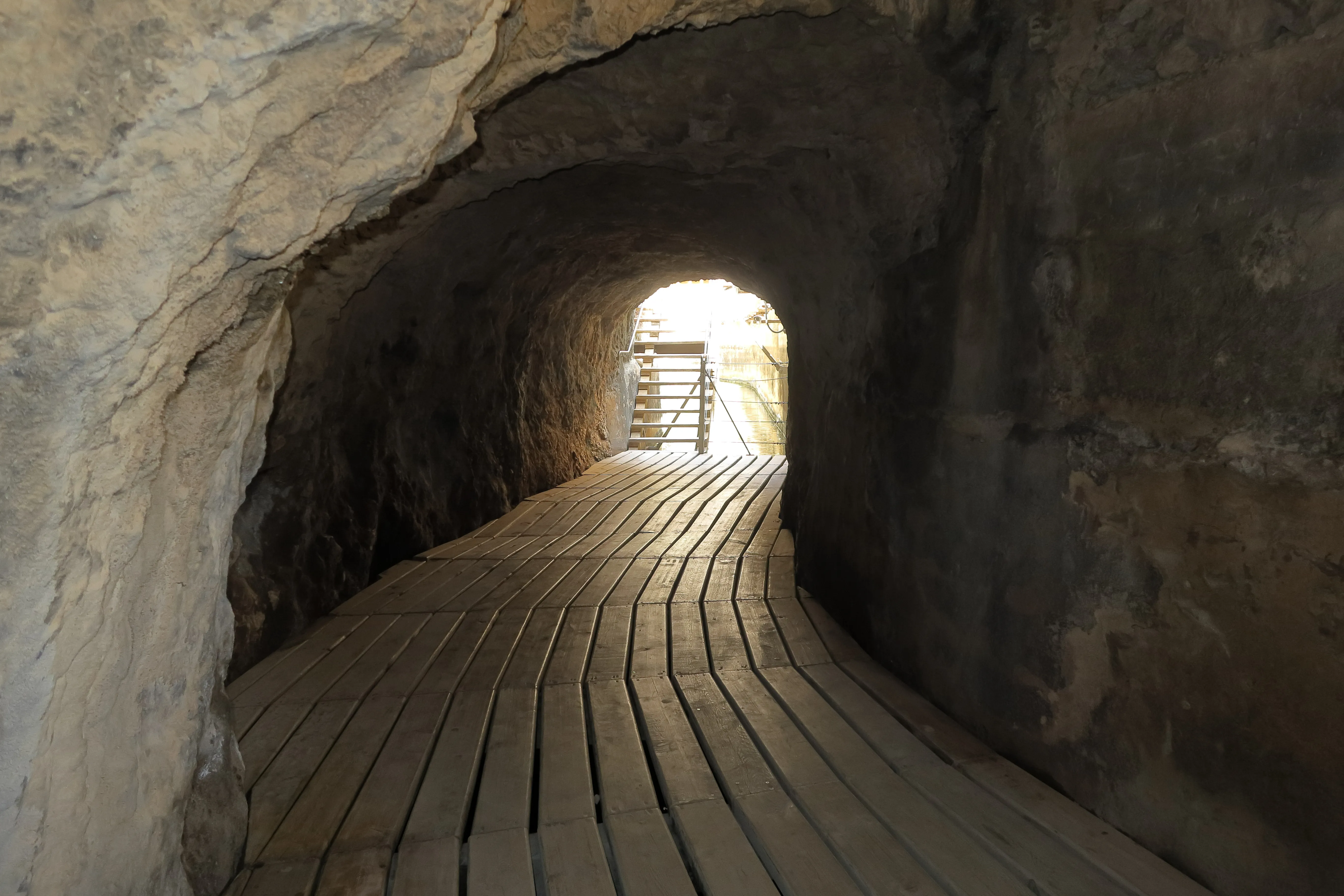
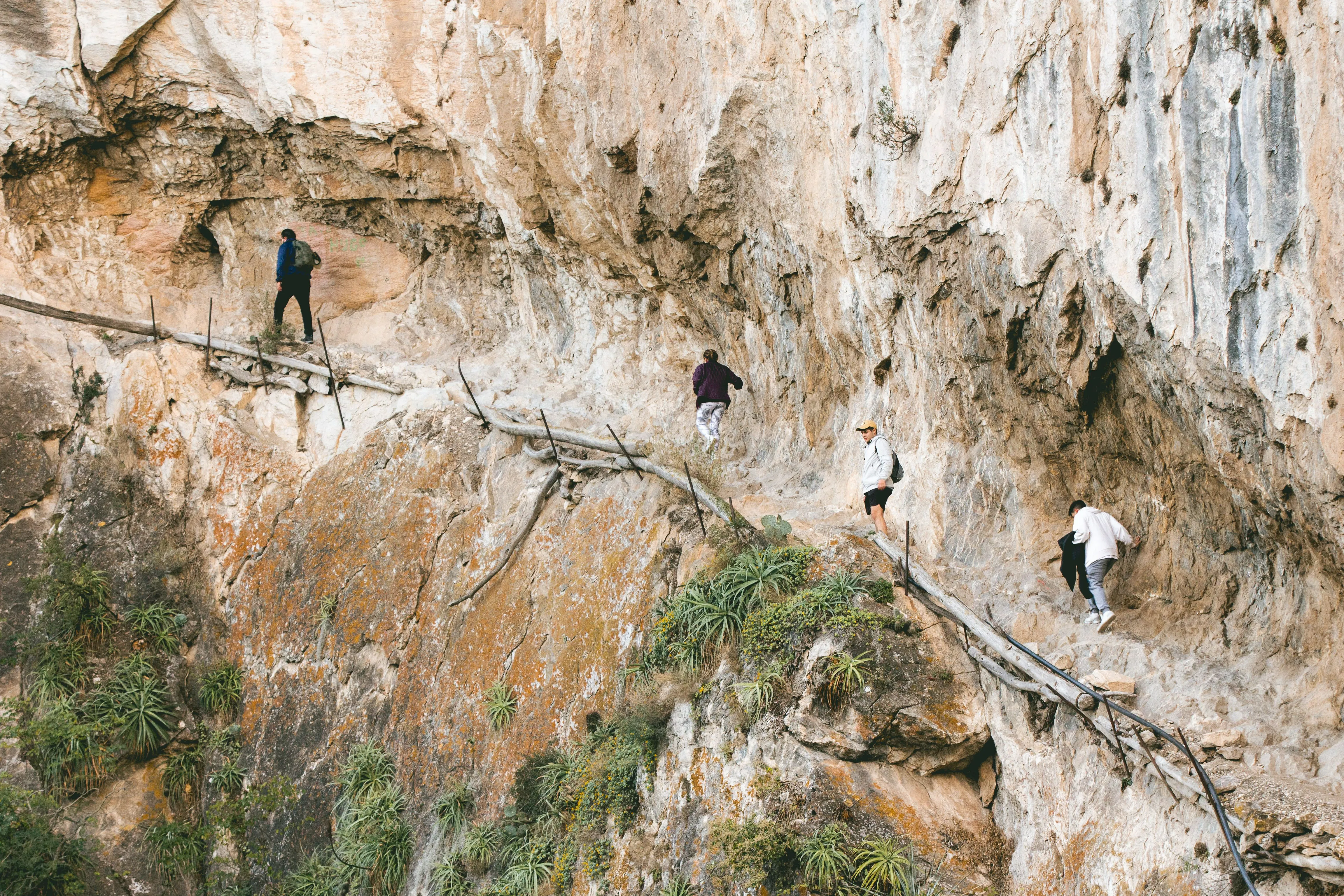
Constructing a maintenance path along near-vertical canyon walls was an extraordinary technical effort for its time. Workers installed a narrow line of supports and concrete sections, often in dangerous positions exposed to heat, wind, and unstable stone. This was not elegant promenade engineering; it was robust problem-solving under pressure. The objective was simple and urgent: enable movement where the mountain offered none.
Over the decades, that path became both indispensable and notorious. Locals knew it as a place of labor and risk, while outsiders heard stories of breathtaking exposure and minimal margins for error. Even in fragmentary form, surviving traces of the original construction communicate the audacity of the project. Walking nearby today, visitors can sense how much of the modern experience is built upon the determination of anonymous workers who transformed cliff into corridor.
King Alfonso XIII and the name that remained
The name Caminito del Rey is linked to the visit of King Alfonso XIII in 1921, when he reportedly crossed sections of the route connected to the inauguration of regional hydraulic works. Whether one focuses on symbolism or protocol, that royal association helped fix the path in public memory and gave the location a narrative identity that endured far beyond its industrial function.
In practical terms, the king’s visit did not change the physical hardship of the route, but it did anchor the place in national imagination. Over time, stories about the canyon mixed official history with local retellings, creating a layered cultural memory that still shapes how visitors perceive the site today. The title feels almost cinematic, yet behind it stands a real network of water infrastructure, labor history, and regional transformation.
Decades of wear, danger, and local memory
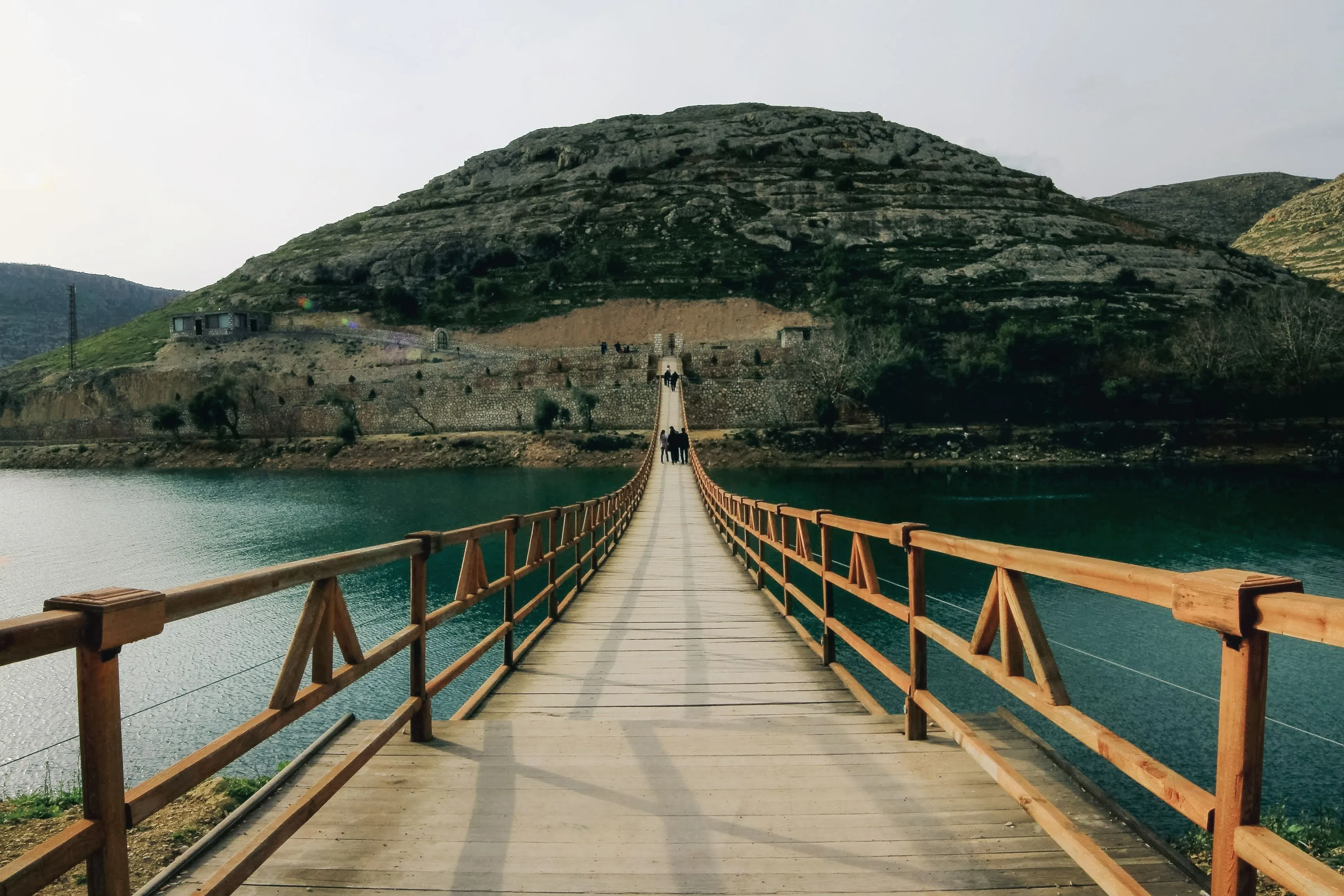
As maintenance needs changed and materials aged, long stretches of the original path deteriorated. Sections crumbled, handrails disappeared, and access became increasingly hazardous. Yet the route gained a strange fame among thrill-seekers who crossed it despite clear risks. For nearby communities, this was never merely an adventure tale; it was a known danger tied to a beloved but fragile place.
By the late twentieth and early twenty-first century, incidents and safety concerns pushed authorities toward stricter restrictions. The image of a broken path clinging to a cliff became globally recognizable, but behind the sensational photos there was a difficult question: how could this extraordinary heritage be protected, interpreted, and made safely accessible without erasing its identity? That question set the stage for the restoration era.
Closure, debate, and the restoration vision
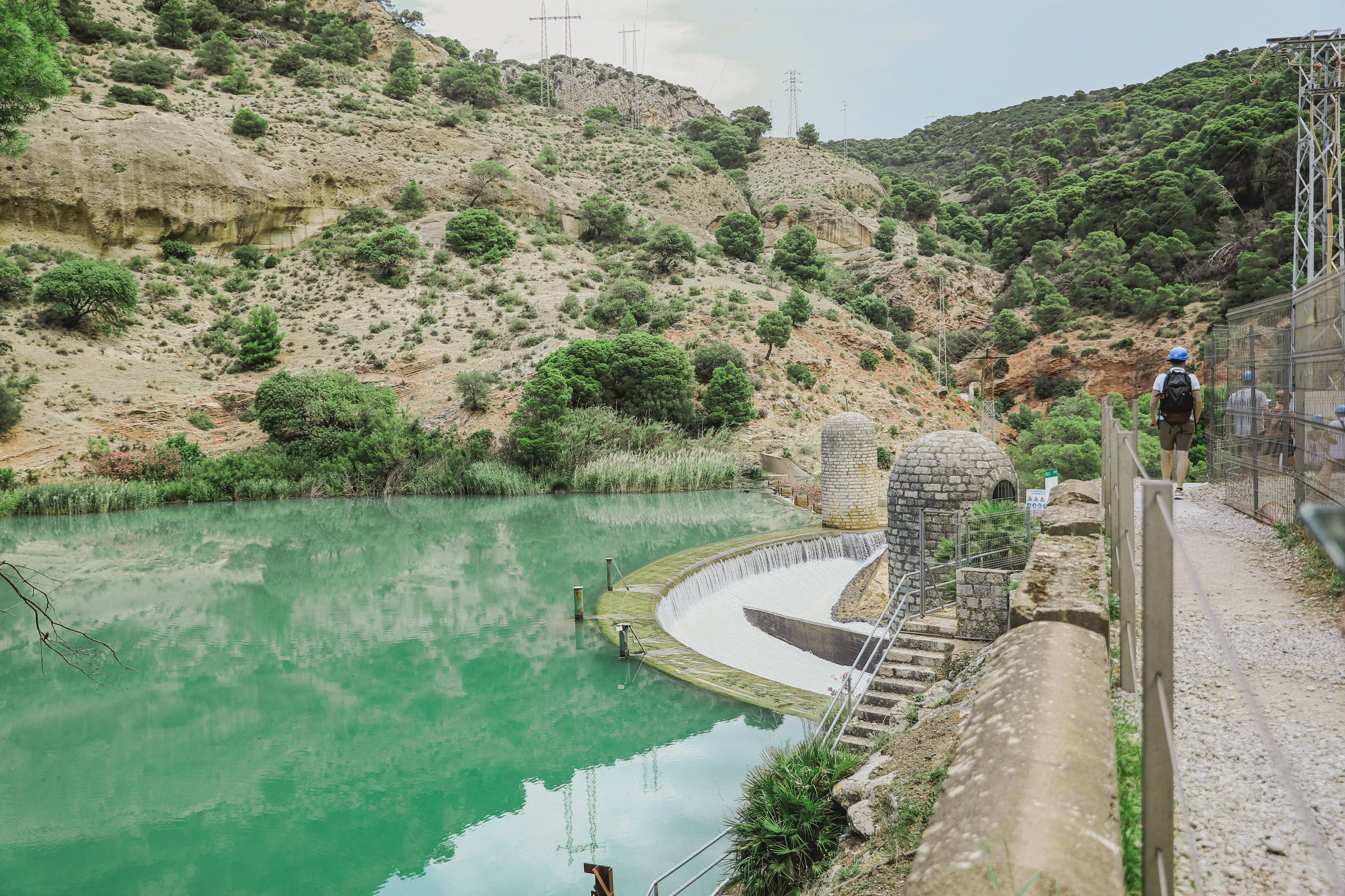
When authorities closed the most dangerous stretches, reactions were mixed. Some mourned the loss of a mythic challenge, while others saw closure as a necessary pause to prevent further tragedies. Engineers, regional institutions, and environmental stakeholders then faced a complex task: design a modern route that prioritized safety and conservation while preserving the emotional intensity of the original setting.
The restoration vision was not about turning the gorge into a theme park. It focused on controlled access, structurally reliable pathways, and careful integration with the canyon’s morphology. The goal was ambitious: keep the drama, remove the unacceptable risk, and build a long-term model for responsible public use. In many ways, Caminito del Rey became a case study in how heritage, engineering, and tourism policy can evolve together.
Engineering the modern safe route
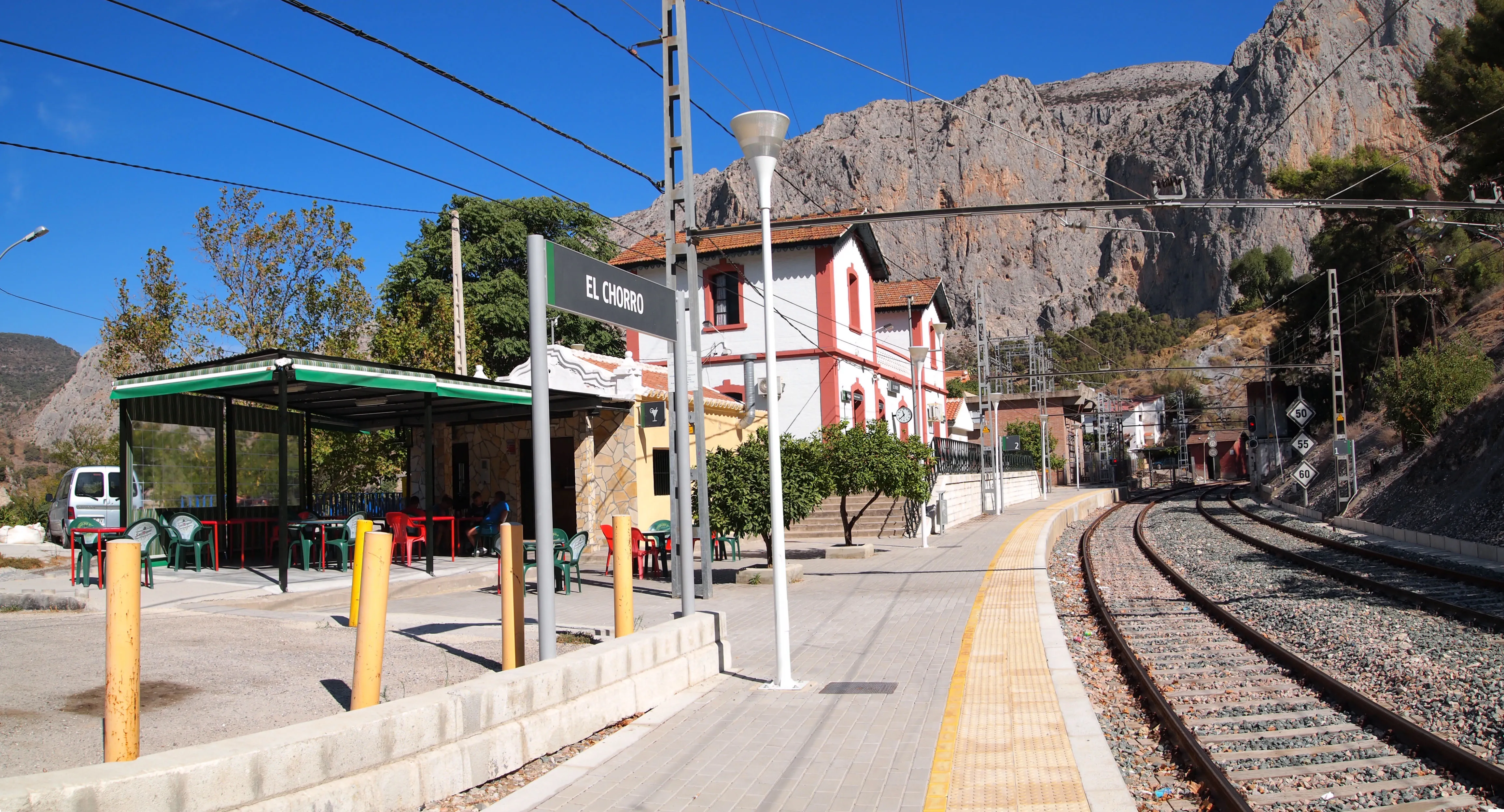
The reopened Caminito del Rey required sophisticated engineering adapted to a fragile and spectacular environment. Modern walkways were installed with durable materials and anchored systems designed to withstand exposure while respecting the canyon’s constraints. Safety elements, controlled capacities, and guided visitor flow all became part of the route architecture.
What makes the current experience so successful is balance. You still feel height, exposure, and raw scale, but within a framework that reduces avoidable danger. Visitors can now focus on observing geology, vegetation, and atmosphere instead of negotiating collapsing surfaces. This is restoration as interpretation: infrastructure that protects people while revealing place.
Geology, wildlife, and protected landscapes
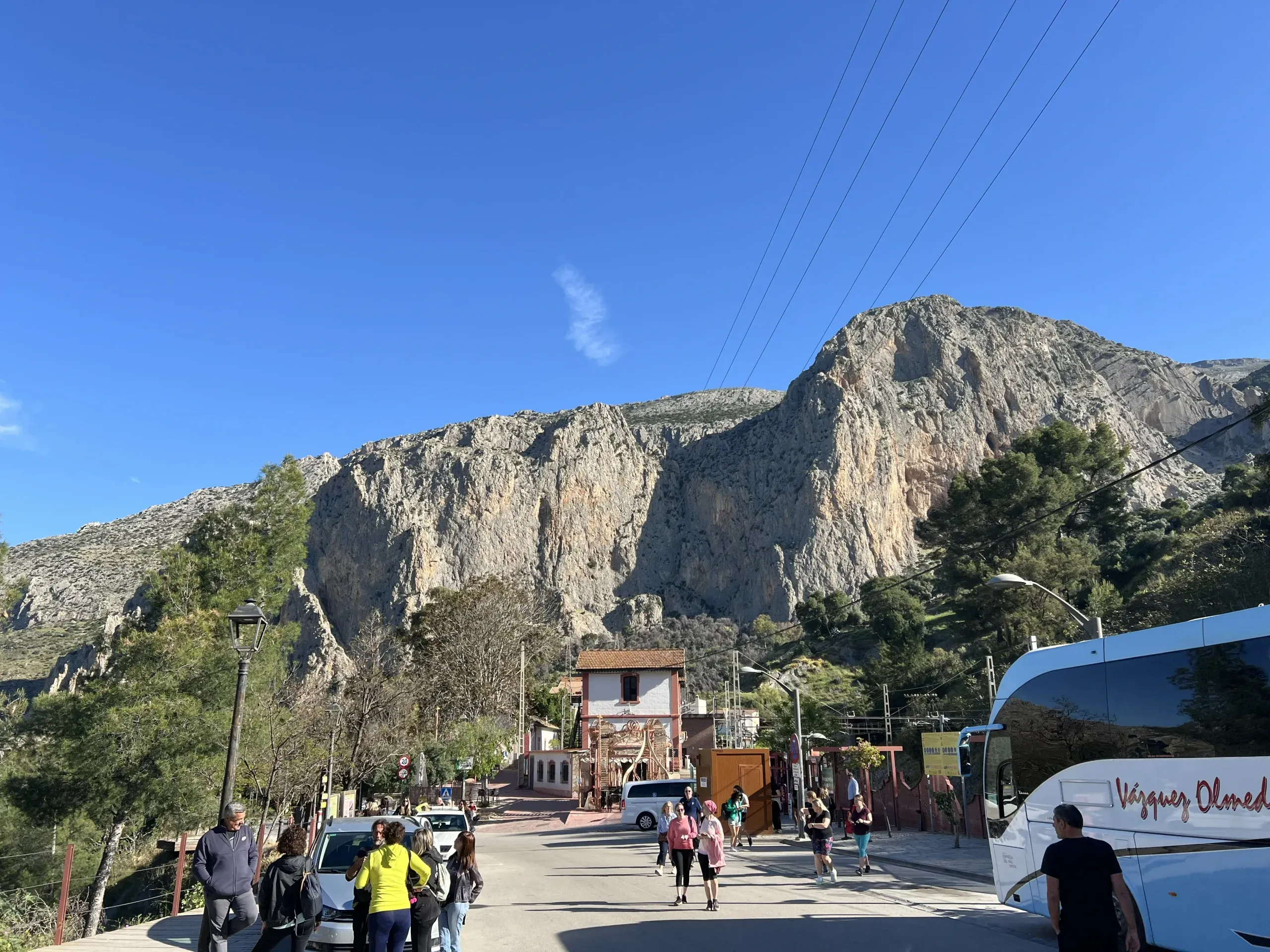
Beyond its engineering story, Caminito del Rey is a living natural environment with ecological significance. The limestone canyon records millions of years of geological processes, while cliffs and thermal currents create habitat for birds of prey and other species adapted to steep terrain. Visitors often come for adrenaline and leave talking about silence, light, and the subtle movement of wildlife between rock faces.
This ecological dimension is one reason access is managed carefully. Concentrated footfall, noise, and litter can impact sensitive zones if not controlled. Following route rules, respecting barriers, and carrying waste out are simple actions that protect the very qualities people travel to experience. Conservation here is not abstract policy; it is part of every responsible visit.
The human communities around the gorge
Caminito del Rey does not exist in isolation; it is embedded in communities such as Ardales, Álora, and Valle de Abdalajís, where tourism has become both opportunity and responsibility. Local restaurants, guesthouses, guides, transport operators, and family businesses are deeply connected to the attraction’s revival. For many residents, the route is not just a scenic asset but part of regional identity and economic resilience.
Spending time beyond the walkway enriches the experience. A slow lunch with local olive oil and seasonal dishes, a conversation in a village square, or a stop at a reservoir viewpoint can reveal the broader cultural texture of the area. The best visits often combine spectacle with attentiveness: not only seeing the cliffs, but also noticing the people who live with them year-round.
Tourism management and timed access
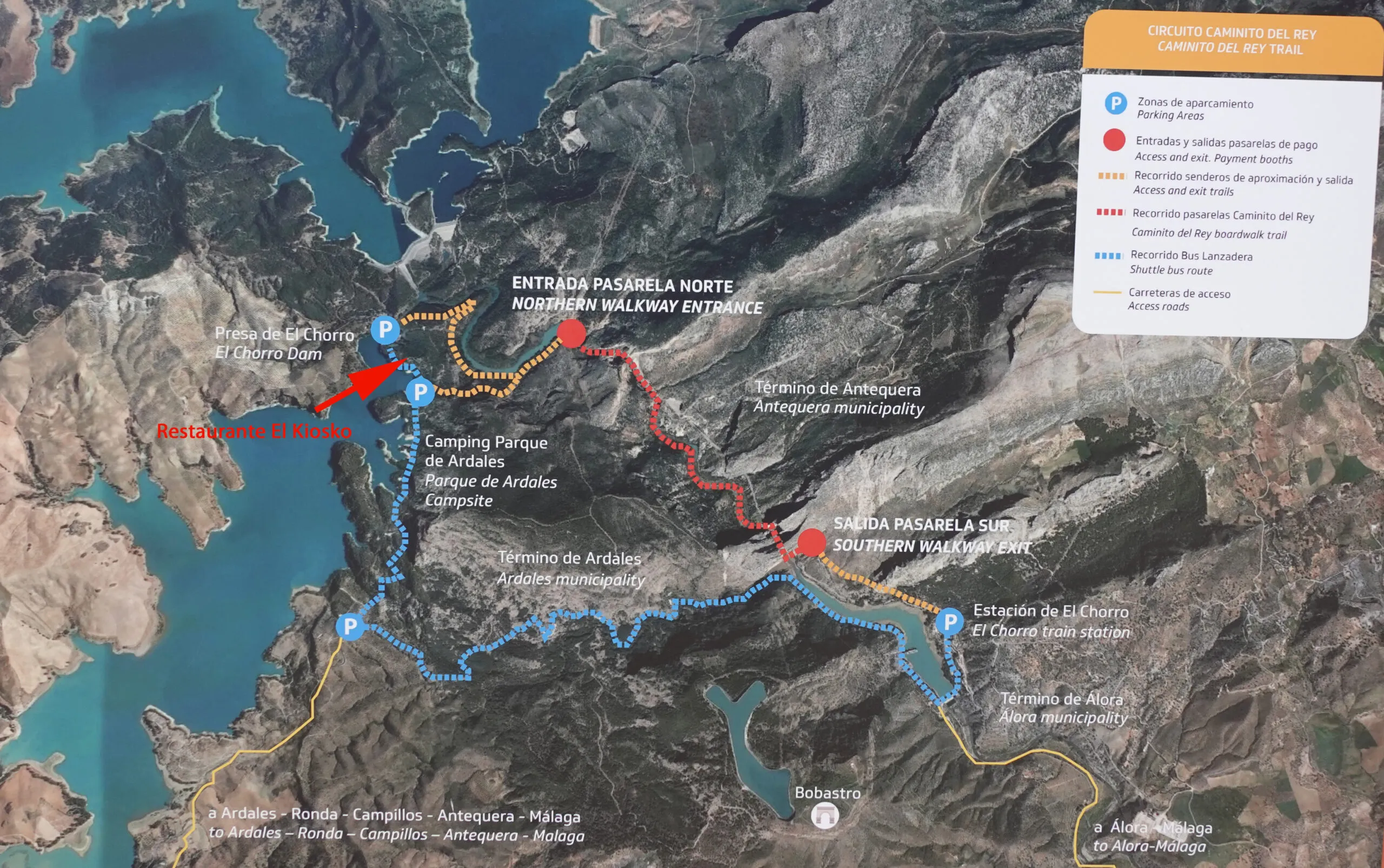
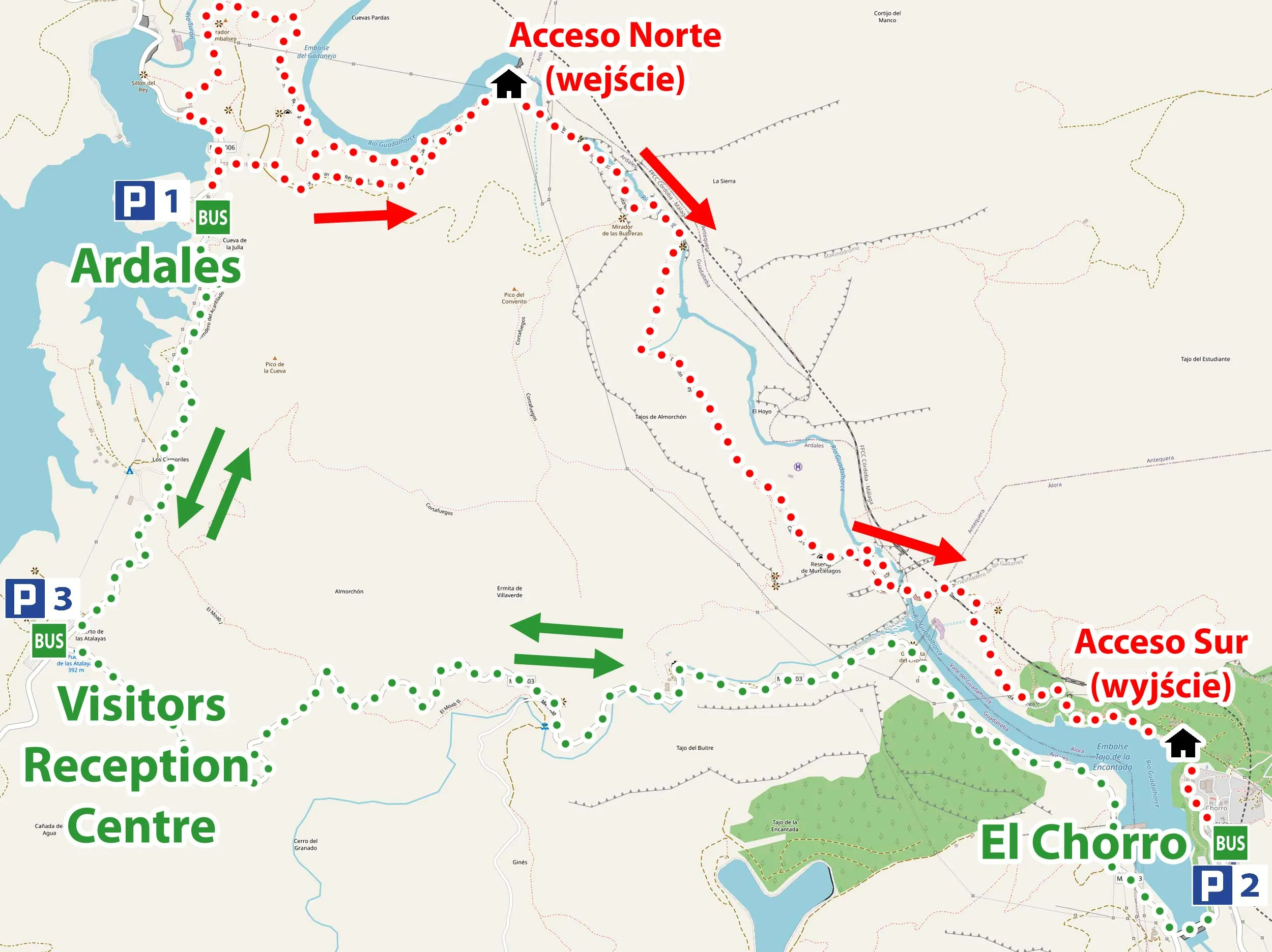
One of the most important changes in Caminito del Rey’s modern chapter is timed access management. Capacity controls reduce bottlenecks, improve safety oversight, and help maintain route quality. For visitors, this system means planning matters: transport, shuttle timing, check-in, and walking pace all need to align with your booked slot.
Far from being a limitation, structured entry often improves the overall atmosphere. You get clearer flow, less chaotic crowding, and better opportunities to pause at viewpoints. The key is simple: book early, arrive prepared, and treat your schedule as part of the experience design.
Conservation versus popularity
Success brings pressure. As Caminito del Rey became internationally famous, visitor demand increased dramatically, creating new challenges for conservation and infrastructure. Maintenance cycles, safety reviews, habitat protection, and transport planning all require ongoing investment and coordination. Popularity can support preservation through revenue, but only if management stays rigorous and adaptive.
For travelers, responsible behavior is the missing piece that makes the model work. Staying on marked paths, avoiding risky photos, respecting staff instructions, and minimizing noise in sensitive sections all contribute to long-term sustainability. The route’s future depends on countless small choices made by visitors every day.
How to read the landscape while walking

Walking Caminito del Rey becomes even richer when you observe the landscape actively. Notice how the canyon narrows and widens, how rock colors shift with minerals and light, and how vegetation changes between shaded walls and sun-exposed ridges. These details tell a story of water, pressure, and time far older than human infrastructure.
Try slowing down at key overlooks rather than racing through for a single photo. Listen for wind through the gorge, watch birds using updrafts, and look for traces of old engineering lines that once served industrial needs. This attentive pace transforms the route from a thrilling checklist item into a layered encounter with place.
Why Caminito del Rey leaves such a mark
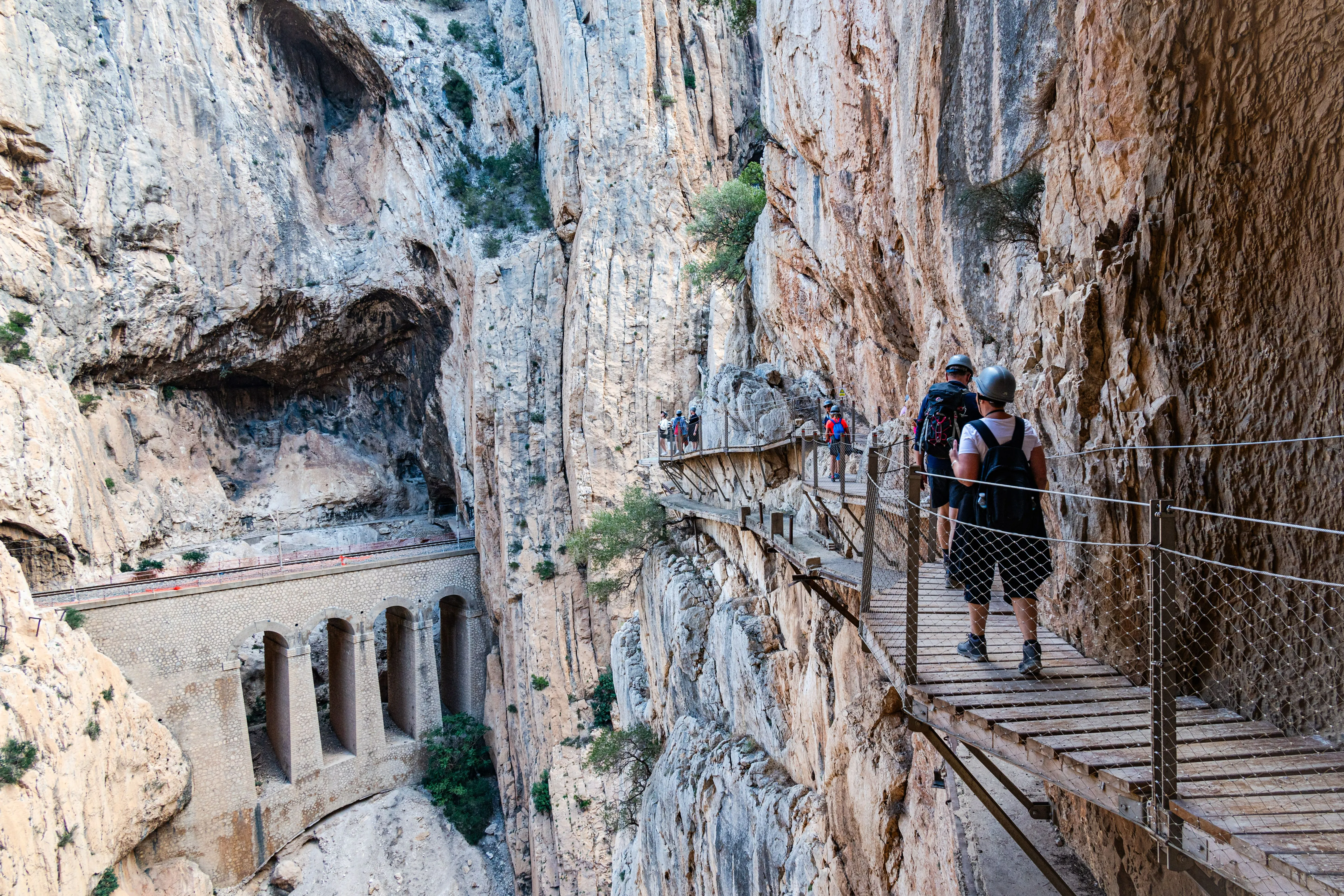
Many famous places impress at first glance and fade quickly. Caminito del Rey tends to do the opposite: it stays with you. Perhaps it is the unusual combination of exposure and order, where you feel very close to raw nature yet protected by thoughtful design. Perhaps it is the contrast between silence in the gorge and the social energy at access points. Or perhaps it is the realization that this route survived because people chose restoration over abandonment.
By the end of the walk, most visitors carry away more than photos. They remember textures: sunlight on limestone, the echo of footsteps on boardwalks, the shift from nerves to confidence, and the scale of the canyon opening ahead. Caminito del Rey feels like a journey through geology, engineering, and human intention at once. That layered experience is why travelers often describe it not merely as a hike, but as a story you physically move through.
Table of Contents
How a canyon became strategic infrastructure
Long before it became an iconic visitor route, the gorge of Los Gaitanes was above all a place of necessity. The deep canyon, carved over geological time by the Guadalhorce River, stood as both obstacle and opportunity for early twentieth-century industrial expansion in inland Málaga. At a moment when Spain was modernizing and electricity demand was rising, this dramatic terrain attracted engineers, workers, and investors who saw in the river current the possibility of reliable hydroelectric production. Reaching work points along the cliff walls, however, required a precarious solution: a narrow service path attached directly to the rock.
That original purpose is essential to understanding Caminito del Rey today. The route was never built as a leisure trail; it existed so operators could inspect canals, maintain infrastructure, and move materials through terrain where ordinary roads were impossible. In other words, what visitors now experience as thrilling scenery was once a hard-working industrial corridor shaped by urgency, labor, and technical improvisation. The canyon itself dictated the terms: steep drops, unstable ledges, and weather conditions that could change quickly. Every meter walked now still carries echoes of that pragmatic beginning.
Hydroelectric ambitions in El Chorro
At the turn of the twentieth century, El Chorro and the surrounding valleys became central to ambitious hydroelectric projects designed to power Málaga’s growth. Water management works, channels, and generation systems demanded regular inspection along inaccessible cliff sections. The landscape was magnificent, yes, but for engineers and workers it was primarily functional territory: difficult, exposed, and unforgiving. The famous walkway emerged from this context, tied directly to utility operations rather than tourism.
Understanding this industrial chapter adds depth to the modern visit. The reservoirs around Ardales, often admired today for their blue-green calm, were and remain part of a complex system that transformed regional development. The old path represented human persistence in extreme terrain, where routine maintenance required courage and precision. That practical heritage is still visible in the alignment of the route and in the way it tracks the canyon wall where technicians once moved with tools instead of cameras.
Building the original cliffside pathway
Constructing a maintenance path along near-vertical canyon walls was an extraordinary technical effort for its time. Workers installed a narrow line of supports and concrete sections, often in dangerous positions exposed to heat, wind, and unstable stone. This was not elegant promenade engineering; it was robust problem-solving under pressure. The objective was simple and urgent: enable movement where the mountain offered none.
Over the decades, that path became both indispensable and notorious. Locals knew it as a place of labor and risk, while outsiders heard stories of breathtaking exposure and minimal margins for error. Even in fragmentary form, surviving traces of the original construction communicate the audacity of the project. Walking nearby today, visitors can sense how much of the modern experience is built upon the determination of anonymous workers who transformed cliff into corridor.
King Alfonso XIII and the name that remained
The name Caminito del Rey is linked to the visit of King Alfonso XIII in 1921, when he reportedly crossed sections of the route connected to the inauguration of regional hydraulic works. Whether one focuses on symbolism or protocol, that royal association helped fix the path in public memory and gave the location a narrative identity that endured far beyond its industrial function.
In practical terms, the king’s visit did not change the physical hardship of the route, but it did anchor the place in national imagination. Over time, stories about the canyon mixed official history with local retellings, creating a layered cultural memory that still shapes how visitors perceive the site today. The title feels almost cinematic, yet behind it stands a real network of water infrastructure, labor history, and regional transformation.
Decades of wear, danger, and local memory
As maintenance needs changed and materials aged, long stretches of the original path deteriorated. Sections crumbled, handrails disappeared, and access became increasingly hazardous. Yet the route gained a strange fame among thrill-seekers who crossed it despite clear risks. For nearby communities, this was never merely an adventure tale; it was a known danger tied to a beloved but fragile place.
By the late twentieth and early twenty-first century, incidents and safety concerns pushed authorities toward stricter restrictions. The image of a broken path clinging to a cliff became globally recognizable, but behind the sensational photos there was a difficult question: how could this extraordinary heritage be protected, interpreted, and made safely accessible without erasing its identity? That question set the stage for the restoration era.
Closure, debate, and the restoration vision
When authorities closed the most dangerous stretches, reactions were mixed. Some mourned the loss of a mythic challenge, while others saw closure as a necessary pause to prevent further tragedies. Engineers, regional institutions, and environmental stakeholders then faced a complex task: design a modern route that prioritized safety and conservation while preserving the emotional intensity of the original setting.
The restoration vision was not about turning the gorge into a theme park. It focused on controlled access, structurally reliable pathways, and careful integration with the canyon’s morphology. The goal was ambitious: keep the drama, remove the unacceptable risk, and build a long-term model for responsible public use. In many ways, Caminito del Rey became a case study in how heritage, engineering, and tourism policy can evolve together.
Engineering the modern safe route
The reopened Caminito del Rey required sophisticated engineering adapted to a fragile and spectacular environment. Modern walkways were installed with durable materials and anchored systems designed to withstand exposure while respecting the canyon’s constraints. Safety elements, controlled capacities, and guided visitor flow all became part of the route architecture.
What makes the current experience so successful is balance. You still feel height, exposure, and raw scale, but within a framework that reduces avoidable danger. Visitors can now focus on observing geology, vegetation, and atmosphere instead of negotiating collapsing surfaces. This is restoration as interpretation: infrastructure that protects people while revealing place.
Geology, wildlife, and protected landscapes
Beyond its engineering story, Caminito del Rey is a living natural environment with ecological significance. The limestone canyon records millions of years of geological processes, while cliffs and thermal currents create habitat for birds of prey and other species adapted to steep terrain. Visitors often come for adrenaline and leave talking about silence, light, and the subtle movement of wildlife between rock faces.
This ecological dimension is one reason access is managed carefully. Concentrated footfall, noise, and litter can impact sensitive zones if not controlled. Following route rules, respecting barriers, and carrying waste out are simple actions that protect the very qualities people travel to experience. Conservation here is not abstract policy; it is part of every responsible visit.
The human communities around the gorge
Caminito del Rey does not exist in isolation; it is embedded in communities such as Ardales, Álora, and Valle de Abdalajís, where tourism has become both opportunity and responsibility. Local restaurants, guesthouses, guides, transport operators, and family businesses are deeply connected to the attraction’s revival. For many residents, the route is not just a scenic asset but part of regional identity and economic resilience.
Spending time beyond the walkway enriches the experience. A slow lunch with local olive oil and seasonal dishes, a conversation in a village square, or a stop at a reservoir viewpoint can reveal the broader cultural texture of the area. The best visits often combine spectacle with attentiveness: not only seeing the cliffs, but also noticing the people who live with them year-round.
Tourism management and timed access
One of the most important changes in Caminito del Rey’s modern chapter is timed access management. Capacity controls reduce bottlenecks, improve safety oversight, and help maintain route quality. For visitors, this system means planning matters: transport, shuttle timing, check-in, and walking pace all need to align with your booked slot.
Far from being a limitation, structured entry often improves the overall atmosphere. You get clearer flow, less chaotic crowding, and better opportunities to pause at viewpoints. The key is simple: book early, arrive prepared, and treat your schedule as part of the experience design.
Conservation versus popularity
Success brings pressure. As Caminito del Rey became internationally famous, visitor demand increased dramatically, creating new challenges for conservation and infrastructure. Maintenance cycles, safety reviews, habitat protection, and transport planning all require ongoing investment and coordination. Popularity can support preservation through revenue, but only if management stays rigorous and adaptive.
For travelers, responsible behavior is the missing piece that makes the model work. Staying on marked paths, avoiding risky photos, respecting staff instructions, and minimizing noise in sensitive sections all contribute to long-term sustainability. The route’s future depends on countless small choices made by visitors every day.
How to read the landscape while walking
Walking Caminito del Rey becomes even richer when you observe the landscape actively. Notice how the canyon narrows and widens, how rock colors shift with minerals and light, and how vegetation changes between shaded walls and sun-exposed ridges. These details tell a story of water, pressure, and time far older than human infrastructure.
Try slowing down at key overlooks rather than racing through for a single photo. Listen for wind through the gorge, watch birds using updrafts, and look for traces of old engineering lines that once served industrial needs. This attentive pace transforms the route from a thrilling checklist item into a layered encounter with place.
Why Caminito del Rey leaves such a mark
Many famous places impress at first glance and fade quickly. Caminito del Rey tends to do the opposite: it stays with you. Perhaps it is the unusual combination of exposure and order, where you feel very close to raw nature yet protected by thoughtful design. Perhaps it is the contrast between silence in the gorge and the social energy at access points. Or perhaps it is the realization that this route survived because people chose restoration over abandonment.
By the end of the walk, most visitors carry away more than photos. They remember textures: sunlight on limestone, the echo of footsteps on boardwalks, the shift from nerves to confidence, and the scale of the canyon opening ahead. Caminito del Rey feels like a journey through geology, engineering, and human intention at once. That layered experience is why travelers often describe it not merely as a hike, but as a story you physically move through.